Western States Pioneer Express Trail
check with the trail manager for updated details before visiting.
Western States Pioneer Express Trail
State
Backcountry Trail
- Length
100 miles
- Elevation Gain
--
- Route Type
out & back
- Length
100 miles - Elevation Gain
-- - Route Type
out & back
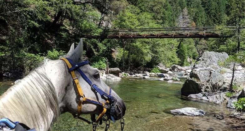
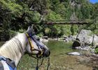
Potato cools off in the North Fork of the Middle Fork of the American River and gazes at Swinging Bridge. Photo by Cortney Bloomer.
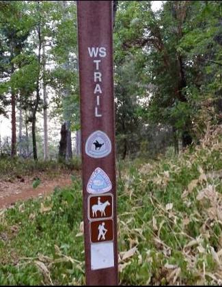
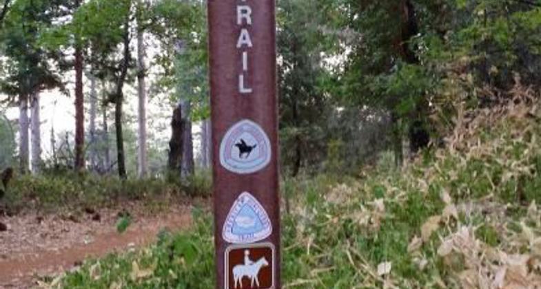
Trail marker.
Location: E from Folsom Lake up American R. through Sierras to Squaw Pass.
- States: California
- Counties: Sacramento
The Western States Pioneer Trail runs for 100 miles between Jedediah Smith Memorial Trail and Auburn Equestrian Staging Area near Gum Lane in Auburn. The trail, open to hikers and horseback riders only, follows the winding course of the American River along the old railroad grade built by the Pacific Portland Cement Company in the early 1900s. The line was used to transport limestone from their quarries near Auburn with the Southern Pacific Mainline in Auburn itself.
Accessibility Information
No text provided.
Reviews
Michael Town
User reviews from several sources
Recent reports (2025–2026) indicate the Pioneer Express Trail (specifically near Granite Bay, miles 37-43) is in poor condition, featuring severe overgrowth, deep mud, downed trees, and dangerous, narrow, eroded sections. Users report high levels of poison oak at ankle height and significant trail degradation, advising caution and long pants.
Key Trail Conditions & Hazards (2025-2026):Overgrowth & Erosion: Large sections are heavily overgrown with weeds and plants; some parts have completely disappeared or become impassable.
Obstacles: Multiple downed trees require climbing over or crawling under (specifically between Sterling Pointe and Rattlesnake Bar).
Poison Oak & Mud: High concentrations of poison oak and very muddy, boggy sections are common, especially near water.
Structural Damage: Portions near Granite Bay (miles 37-43) are described as having hazardous, deep, narrow drops due to misuse.
Construction Delays: Ongoing construction near Beal’s Point/Granite Bay has caused closures and forced detours.
Incorrect Information: Some sections, such as Sterling Pointe to Rattlesnake Bar, have "No Bike" signs despite contradicting information, according to user reports.
Allowed Uses:
Hiking/WalkingPublic Contact
Jim MichaelsCalifornia Dept. of Parks
7806 Folsom-Auburn Rd.
Folsom, CA 95630
(916) 988-0205
www.parks.ca.gov
Contact the trail manager for current maps and visiting details.
More Details
- Elevation (low): --
- Elevation (high): --
- Elevation (cumulative): --
- Part of a Trail System? No
- Surface (primary): --
- Surfaces (additional): --
- Tread Width (average): 0"
- Tread Width (minimum): --
- Running length (minimum): --
- Tread Grade (average, percent): --
- Tread Grade (maximum):
- Running length (maximum): --
- Cross-slope (average, percent): --
- Cross-slope (maximum): --
- Running length (maximum): --
- Certified as an NRT
Oct 7, 1975