
Walt Whitman Trail
check with the trail manager for updated details before visiting.
Walt Whitman Trail
City, Town, or County
Frontcountry Trail
- Length
8.2 miles
- Elevation Gain
--
- Route Type
out & back
(1 review)
- Length
8.2 miles - Elevation Gain
-- - Route Type
out & back
The Walt Whitman Trail itself runs 5 miles; the full trail system spans approximately 8.2 miles.
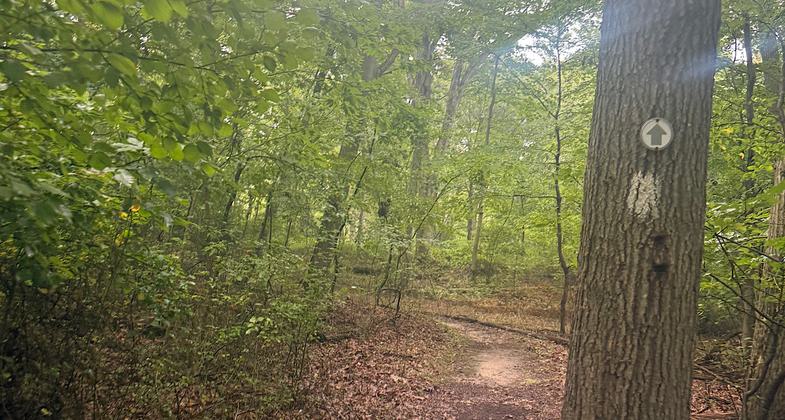


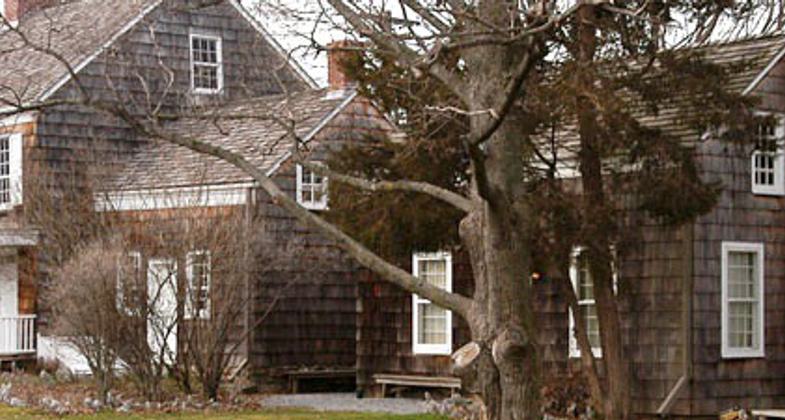
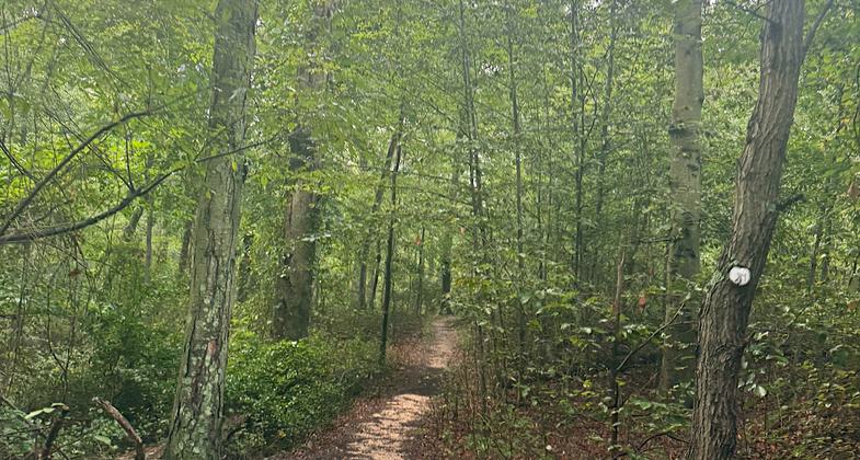
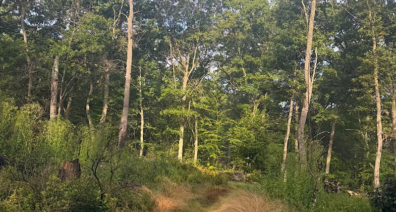
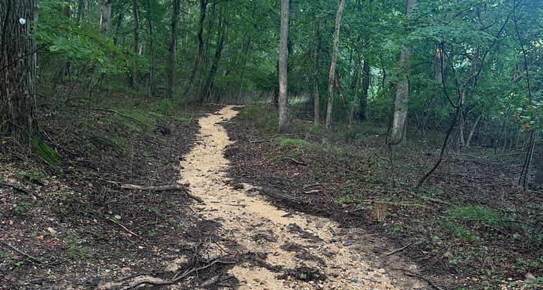
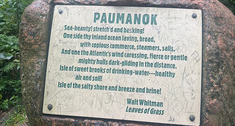
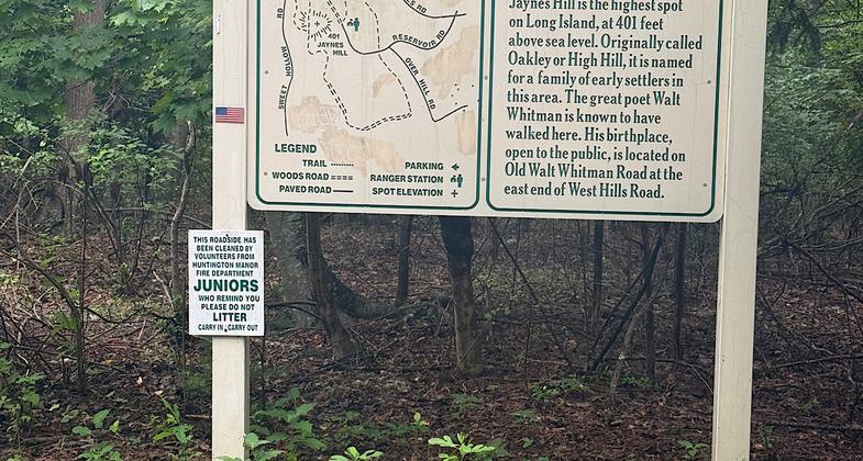
Location: Suffolk County, NY, NY Trails system north & south of Northern State Pkwy, west of Exit 40.
- States: New York
- Counties: Suffolk
Situated in one of the busiest areas of Long Island, this greenway begins at the Walt Whitman Birthplace State Historic Site and traverses the hills of the glacial Ronkonkoma Moraine, providing a quiet refuge for hikers, equestrians, and other trail users. The Walt Whitman Trail itself runs 5 miles; the full trail system spans approximately 8.2 miles.
Accessibility Information
No text provided.
Reviews

Patricia Ellis
Absorbed into other trails
This trail runs from Whitman’s Birthplace through West Hill County Park, going up and over Long Island’s highest point along the way. There are a ton of trails within the park, and the online map names are different from the ones on the physical signs/maps. The trail that was once the Walt Whitman Trail (online map) but is now a combination of other trails varied from wide and well maintained to narrow and overgrown. The high point does not have a view, but there are stretches that have a ridge-like feel. The path takes you past a dog park and a horse campground, and many of the intersecting trails allow horses. It’s a fairly easy seven-ish miles with minor ups and downs. Screenshot the online map from West Hill County Park before you go in, though. The trails are basically the same, it’s the names that have changed.
Allowed Uses:
Dogs, on leash Equestrian Hiking/WalkingPublic Contact
Suffolk Co. Dept. of Parks and Rec.P.O. Box 144/Montauk Hwy.
West Sayville, NY 11796
(631) 854-4949
www.co.suffolk.ny.u
More Details
- Elevation (low): --
- Elevation (high): --
- Elevation (cumulative): --
- Part of a Trail System? No
- Surface (primary): --
- Surfaces (additional): --
- Tread Width (average): 0"
- Tread Width (minimum): --
- Running length (minimum): --
- Tread Grade (average, percent): --
- Tread Grade (maximum):
- Running length (maximum): --
- Cross-slope (average, percent): --
- Cross-slope (maximum): --
- Running length (maximum): --
- Certified as an NRT
May 31, 2007