St. Louis River Estuary Water Trail
check with the trail manager for updated details before visiting.
St. Louis River Estuary Water Trail
Nonprofit
National Water Trail
- Length
16.5 miles
- Elevation Gain
--
- Route Type
Loop
- Length
16.5 miles - Elevation Gain
-- - Route Type
Loop
At the headwaters of Lake Superior lies the St. Louis River Estuary National Water Trail—an adventurer’s paradise within the nation’s largest freshwater estuary. Nestled between Duluth, Minnesota and Superior, Wisconsin, this nationally designated trail extends from the Fond du Lac Dam to the Highway 2 Bridge connecting the two cities and features 11 distinct routes for paddlers and boaters of all skill levels and abilities. The National Water Trail ends before entering the busy shipping channel of the Duluth-Superior harbor.
Photo by St. Louis River Alliance
Woodstock Bay Celebration 2024

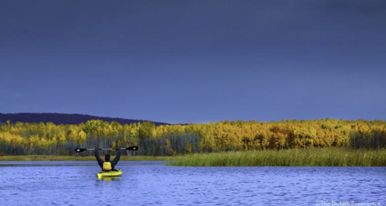
Pokegama Bay Paddling, October 2024
Explore Duluth's best kept secret.
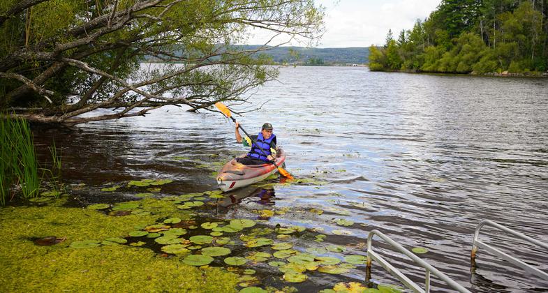
Down river from HWY 23 bridge. Photo by Fred Morgan.
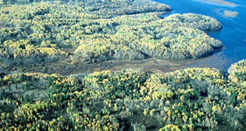
View of estuary from Quarry Park
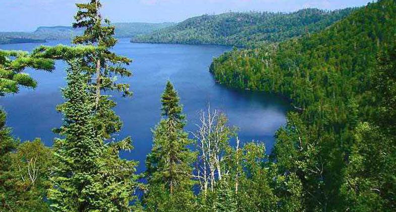
Superior National Forest
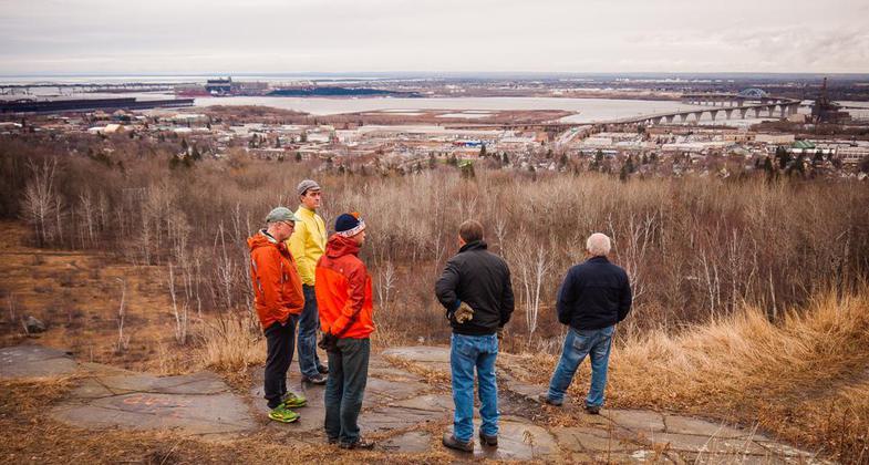
View from hilltop
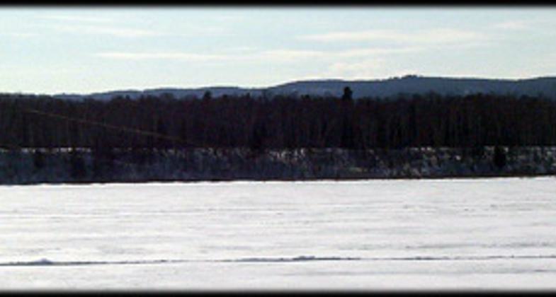
Kite skiing
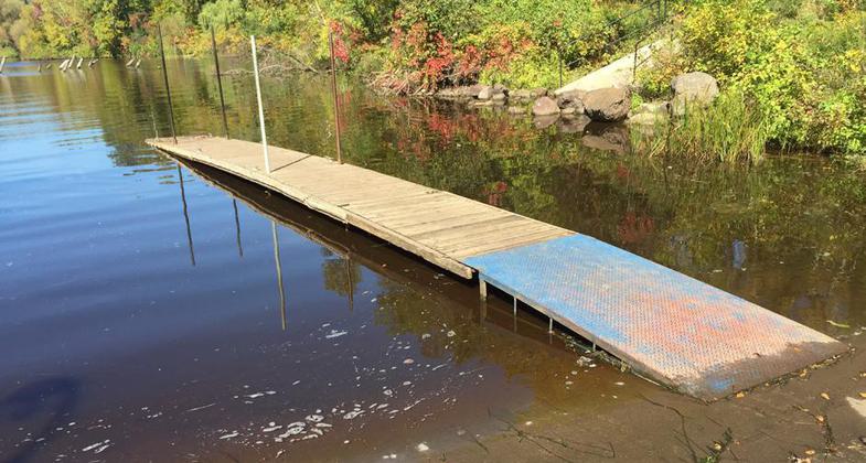
Billings Park access
Location: Southwestern most tip of Lake Superior between Minnesota and Wisconsin.
- States: Minnesota, Wisconsin
- Counties: St. Louis, Douglas
- Cities/Townships: Duluth, Superior
About the St. Louis River
The St. Louis River, the largest U.S. tributary to Lake Superior, drains 3,634 square miles, entering the southwestern corner of Lake Superior between Duluth, Minnesota, and Superior, Wisconsin. The river flows 192 miles, passing through diverse landscapes that reflect its glacial history—from coarse soils, glacial till, and outwash deposits at its headwaters, to the deep, narrow gorge at Minnesota’s Jay Cooke State Park, and the red clay soils in its lower reaches.
National Significance
The St. Louis River is made up of many diverse landscapes, ranging from working ports to complex ecological systems. This creates a compelling experience that shows the estuary significance both regionally and nationally.
Although, due to historical industrial pollution, the St. Louis River Estuary was designated an Area of Concern (AOC) by the International Joint Commission under the U.S.–Canada Great Lakes Water Quality Agreement. Areas of Concern are locations across the Great Lakes that were heavily polluted by past practices of dumping untreated waste on land and into waterways.
Cleanup and restoration of the estuary are guided by the St. Louis River Area of Concern Remedial Action Plan (RAP), a collaborative effort focused on improving water quality, habitat, and overall ecosystem health. The RAP began in 1989 through a partnership between the Minnesota Pollution Control Agency and the Wisconsin Department of Natural Resources. As part of this work, a Citizens Advisory Committee was formed, which was later incorporated as an independent nonprofit organization now known as the St. Louis River Alliance, now proud managers of the St. Louis River Estuary National Water Trail. Many of the original citizen and agency partners remain actively involved in restoration efforts today.
For more information about how the St. Louis River Alliance collaborates with partners to promote Area of Concern work within the St. Louis River, follow this link.
Trail’s History and Evolution
The St. Louis River Estuary National Water Trail is part of a broader network of paddling routes, building on the St. Louis River’s designation as a State Water Trail in 1967 and its later connection to the Lake Superior State Water Trail in 1995. Officially designated on October 25, 2020, the National Water Trail recognizes this stretch of river as a premier paddling destination shaped by decades of restoration and regional collaboration. The designated National Water Trail corridor extends from the Fond du Lac Dam downstream to the Highway 2 bridge between Duluth and Superior, focusing on the estuary’s sheltered bays, wetlands, and interconnected waterways, and does not extend into the shipping harbor. Its designation reflects the work of more than 50 partners—including local communities, state agencies, and stakeholder groups—who came together to restore, protect, and elevate this unique freshwater landscape as an accessible and nationally significant paddling experience.
For more information on the river’s history and evolution, follow this link.
Benefits
The trail provides meaningful benefits to both visitors traveling to the area and community members who live locally. Whether individuals seek physical activity, adventure, or quiet reflection, there are suitable experiences through every season. The national designation of the St. Louis River Estuary National Water Trail also plays a beneficial role by helping the community reconsider perceptions shaped by the river’s industrial past and highlights the significant progress made in its restoration and stewardship.
Allowed Uses
Recreation paddling (kayak, canoe, stand-up paddle board), motorized boating, swimming, fishing, hunting/trapping (only in Wisconsin during season), camping at Dwights Point (free), snowshoeing, skiing, ice skating
Other Activities
- Explore Cultural Significance and History
- Wildlife and Plant Observation, Identification, Photography
- Hike local trails: Waabizheshikana (Western Waterfront Trail), or Superior Municipal Forest
- Geocaching, Biking, Disk Golf
- Camping On and around the river: Dwights Point (free), Indian Point Campground, Fond du Lac Campground, Spirit Mountain, Mont du Lac (cost associated)
- Winter Activities: Ice skating, snowshoeing, skiing, and ice fishing
Additional Information on Accessing the National Water Trail
- For a free copy of the St. Louis River Estuary National Water Trail Maps - check out the St Louis River Alliance's website. St. Louis River Alliance's website. There are physical pick-up locations in the Duluth/Superior region in addition to downloadable PDFs.
- Daily and/or seasonal parking permits are required when utilizing public landings in Superior, Wisconsin. Purchase hang tags locally in Superior, Wisconsin and/or use this link to purchase online.
- Learn more and start planning your next trip on the St. Louis River Estuary National Water Trail.
Accessibility Information
The St. Louis River Estuary National Water Trail includes nine public landings to get you on the water. Public landings on the St. The Louis River Estuary includes amenities such as boat launches, restrooms, seating areas, and a walkable launch for recreational paddlers. There are two ADA-accessible launches on the Wisconsin side of the river that allow you to pull yourself into the water from an assisted ramp while staying stationary in your craft.
ADA-Accessible launches are currently available at these landings on the National Water Trail, both on the Wisconsin side of the river. Updates to this page will be made when more launches are established.
- Woodstock Bay: 46.707851, -92.145574
- Pokegama Bay: 46.671391, -92.134363
- This public landing is closed seasonally during the winter months
*The amenities found at public landings in Duluth/Superior can vary in accessibility and amenities due to land ownership, and management at each location. Browse the City of Duluth’s page, or City of Superior’s for the most recent improvements to landings.*
Allowed Uses:
Boating, motorized Boating, human-powered Swimming Snow, cross-country skiing Snow, snowshoeingOther Activities
- Camping
- Fishing
- Hunting
- Ice skating
- Wildlife viewing / observation
Public Contact
Mikayla EricksonSt. Louis River Alliance
394 Lake Avenue South, Suite 604
Duluth, MN 55802
[email protected] • (218) 733-9520
More Details
- Elevation (low): 600
- Elevation (high): --
- Elevation (cumulative): --
- Part of a Trail System? No
- National Designations: National Water Trail Designation, Great Lakes Area of Concern, Important Birding Area
- State Designations: MN State Water Trail
- Surface (primary): --
- Surfaces (additional): Rock, boulders, Rock, smooth, Snow or ice, Water, calm
- Tread Width (average): 0"
- Tread Width (minimum): 0
- Running length (minimum): --
- Tread Grade (average, percent): --
- Tread Grade (maximum):
- Running length (maximum): --
- Cross-slope (average, percent): 0
- Cross-slope (maximum): --
- Running length (maximum): --
- Certified as an NRT
Oct 25, 2020