Piney River Nature Trail
check with the trail manager for updated details before visiting.
Piney River Nature Trail
Private
Backcountry Trail
- Length
10 miles
- Elevation Gain
--
- Route Type
out & back
(1 review)
- Length
10 miles - Elevation Gain
-- - Route Type
out & back


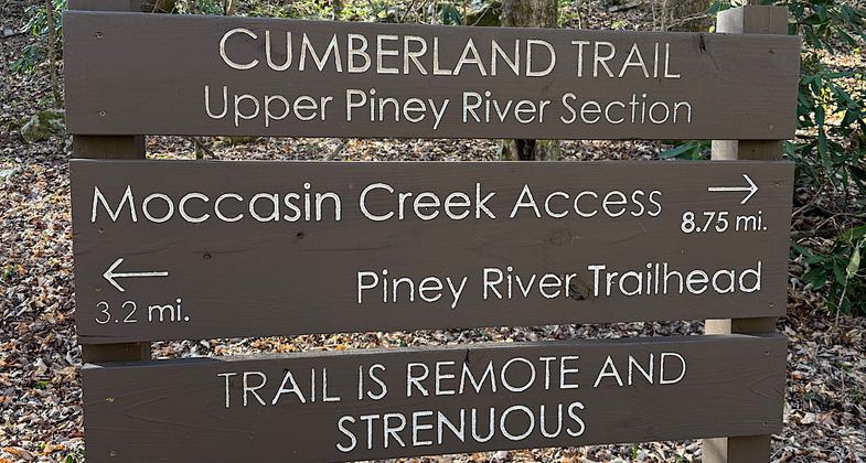
Location: Northeast of Spring City on Shut-In Gap Road.
- States: Tennessee
No text provided.
Accessibility Information
No text provided.
Reviews
Patricia Ellis
Beautiful and remote trail through woods by the river
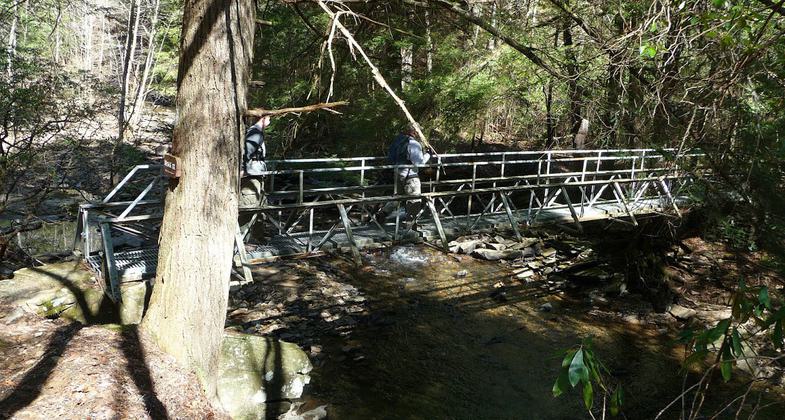
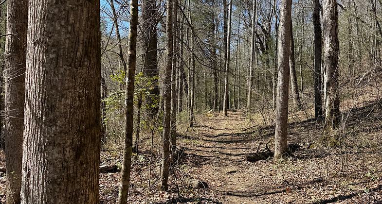
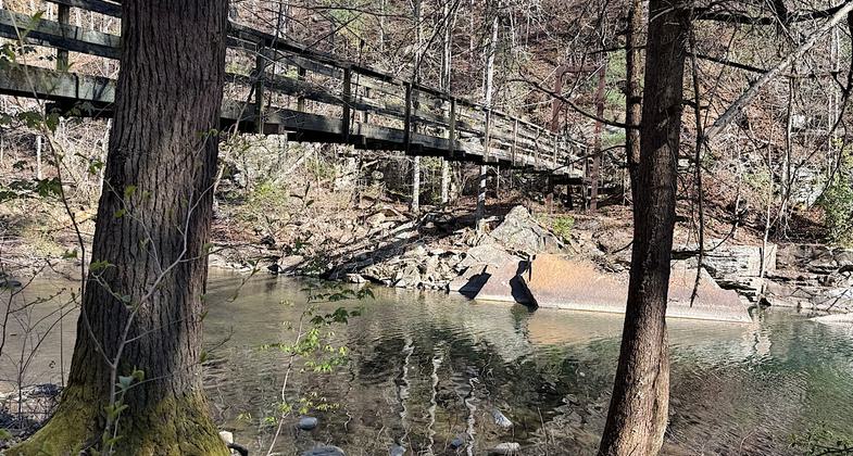
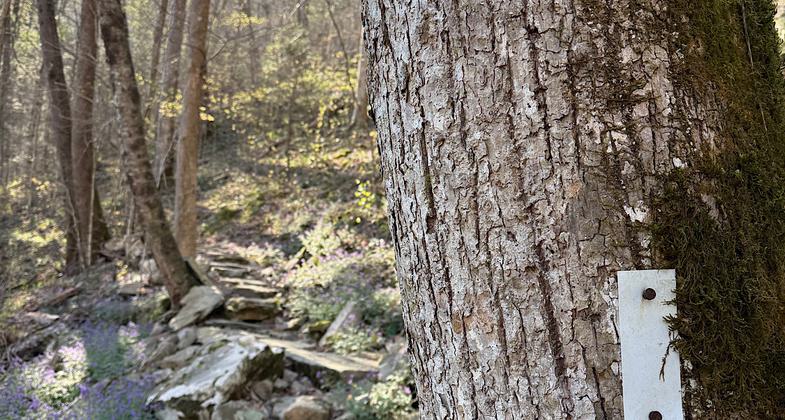
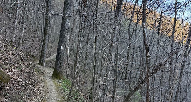
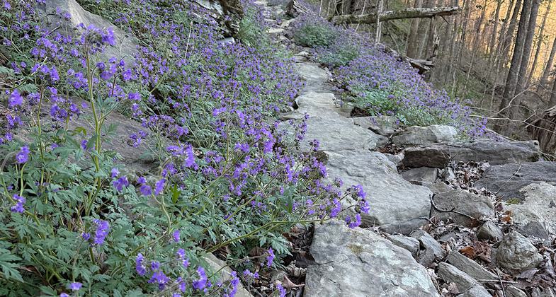
Hiked March 28, 2026. Remote and somewhat rugged trail. Well-maintained. Lots of little waterfalls. Some camping options for those who want a remote and short backpacking trip. Very much enjoyed this trek. Note this trail is now part of TN’s Cumberland Trail network and is considered the “Lower Piney River Segment.” You can read more about that on the Cumberland Trail Conservancy’s website. Trail is 8.5 miles long. A 14.1-mile loop can be made by hiking back to the eastern trailhead from the Newby Branch terminus along Shut-In Gap Road. The road walk is scenic and all downhill. Not much shoulder though so pay attention to traffic.
Allowed Uses:
Hiking/WalkingPublic Contact
Bowaters Southern Paper CompanyCalhoun, TN 37309
Contact the trail manager for current maps and visiting details.
More Details
- Elevation (low): --
- Elevation (high): --
- Elevation (cumulative): --
- Part of a Trail System? No
- Surface (primary): --
- Surfaces (additional): --
- Tread Width (average): 0"
- Tread Width (minimum): --
- Running length (minimum): --
- Tread Grade (average, percent): --
- Tread Grade (maximum):
- Running length (maximum): --
- Cross-slope (average, percent): --
- Cross-slope (maximum): --
- Running length (maximum): --
- Certified as an NRT
Apr 11, 1978