
Otis Pike Wilderness Nature Trail (Burma Trace)
check with the trail manager for updated details before visiting.
Otis Pike Wilderness Nature Trail (Burma Trace)
National Park Service
Backcountry Trail
- Length
7.1 miles
- Elevation Gain
--
- Route Type
out & back
(2 reviews)
- Length
7.1 miles - Elevation Gain
-- - Route Type
out & back
A 1000' handicap accessible trail that becomes a sandy wilderness trail as it progresses towards Watch Hill. Wet areas are possible.
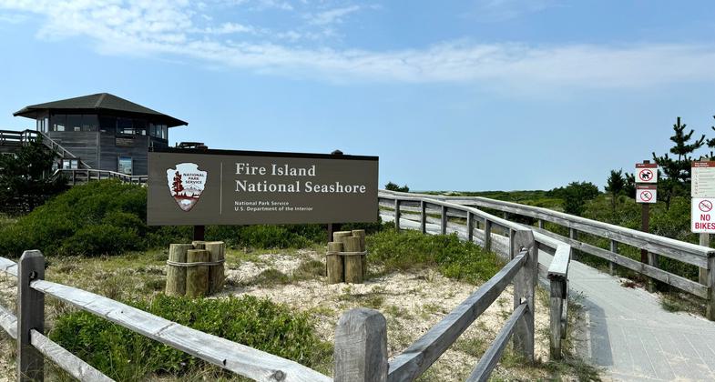
Photo by National Park Service


Fire Island Wilderness Path. Photo by Stevan.

Visitors Center at Fire Island Wilderness. Photo by Stevan.

Fire Island Widerness View East. Photo by Stevan.
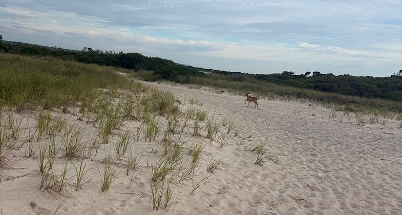
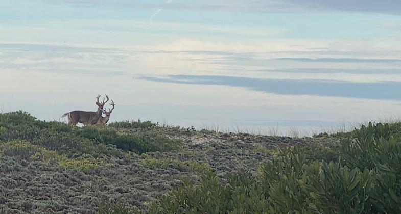
Location: Otis Pike Fire Island High Dune Wilderness
- States: New York
- Counties: Suffolk
- Cities/Townships: Brookhaven Township
Trail Advisory:
The unmarked continuation of this trail is closed during summer months (nesting season) and typically overgrown even when open. Look for metal posts with flagging/ribbons — if you don't see ribbons, the trail is closed. Please respect all "No Entry – Nesting" signage.
This closure is not currently reflected on printed visitor center maps or NPS online maps. Check with a ranger at the visitor center before attempting this section.
2024 Update: Superstorm Sandy (2012) destroyed most of the original trail but the Fire Island National Seashore rebuilt the northern half to maintain an accessible Wilderness area. The accessible trail (60" wide boardwalk) runs approximately 1000' before turning to sand. At this point, the accessible trail crosses the Burma Trace foot trail and the park has started to manage them as one trail. This update adds the Burma Trace to the Otis Pike Wilderness Nature Trail for a total distance of 7.1 miles running from the Wilderness VC westward to Watch Hill.
Eastern 1000' section of trail is 60" wide composite lumber and handicap accessible. Trail substrate turns to sand and tread <12" wide as it progresses towards Watch Hill. Wet areas are possible throughout the year. Camping is available with permit.
Accessibility Information
No text provided.
Reviews

Patricia Ellis
Needs signs and maintenance
Attempted Aug 31, 2026. The original trail went from Wilderness Visitor Center to Watch Hill and was obliterated by Superstorm Sandy in 2012. A 2024 update on the NRT website states the trail was rebuilt and is maintained, but I could not find access onto the main trail from the eastern end. The initial boardwalk is lovely and in great shape, but there are no trail signs or markers part the boardwalk, the map does not show the trail going onto the beach. and I could not find a path that was not blocked off for nesting purposes. I walked the beach for a while trying to find a legal way back into the center of the dunes/brush where the trail is supposed to be, but I could find no access. Perhaps the usual way is blocked off, though I could find no announcement of seasonal closure on the NPS website.
Thomas Gawiak
WHAT HAPPENED TO THE TRAIL?
I have always gone to the beach here off season for walks. This time I decided to take the otis pike trail, its been awhile, Well you start on a really nice composite deck but less than a 1/4 mile it stops dead and disappears into the sand. I remember when it looped back to the entrance. Now it just spills into the dunes. I thought that you were not suppose to walk on the dune areas or trample the natural growth. There use to be signs everywhere to stay on the trail. This place is gonna be destroyed. No signs, no explanation.
Allowed Uses:
Hiking/WalkingOther Activities
- Camping
- Fishing
- Hunting
- Wildlife viewing / observation
Public Contact
Scott McCormickFire Island National Seashore
120 Laurel St.
Patchoque, NY 11772
[email protected] • (631) 569-2100
www.nps.gov/fii
More Details
- Elevation (low): --
- Elevation (high): --
- Elevation (cumulative): --
- Part of a Trail System? No
- Surface (primary): Sand
- Surfaces (additional): Boardwalk
- Tread Width (average): 60"
- Tread Width (minimum): 10
- Running length (minimum): --
- Tread Grade (average, percent): --
- Tread Grade (maximum): 5
- Running length (maximum): --
- Cross-slope (average, percent): --
- Cross-slope (maximum): --
- Running length (maximum): --
- Certified as an NRT
Nov 18, 1981