
Long Island Greenbelt Trail
check with the trail manager for updated details before visiting.
Long Island Greenbelt Trail
Nonprofit
- Length
31.8 miles
- Elevation Gain
--
- Route Type
out & back
(1 review)
- Length
31.8 miles - Elevation Gain
-- - Route Type
out & back
Follow the courses of the Nissequogue and Connetquot rivers on all or part of a 32-mile adventure from Long Island Sound to Great South Bay. Bluffs and beaches, ponds and pines, history and diversity - this National Recreation Trail travels through spectacular Sunken Meadow, Caleb Smith, Connetquot and Heckscher state parks, and traverse the Ronkonkoma Moraine - and stop in to visit us in our office at Blydenburgh County Park. Hikers have been enjoying this true cross-section of Long Island since 1978.
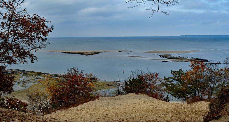
View of Mouth of the Nissequogue River form Greenbelt Trail. Photo by Dorothy Chanin.


River Regatta, Nissequoque River. Photo by Dorothy Chanin.

Swans at Blydenberg County Park, Smithtown, New York. Photo by Dorothy Chanin.

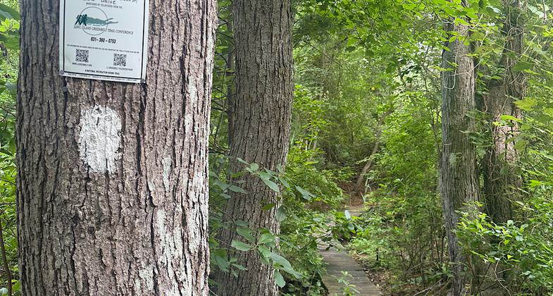
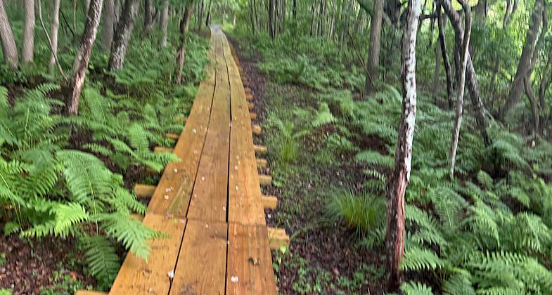
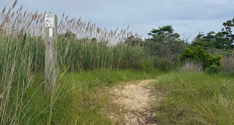
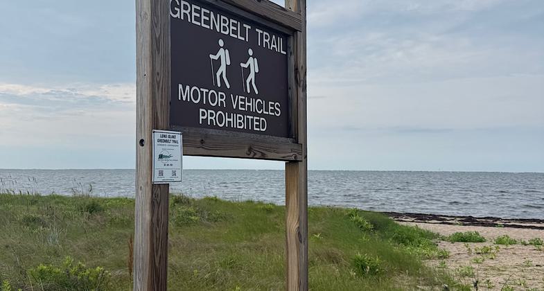
Location: Suburban
- States: New York
- Counties: Suffolk
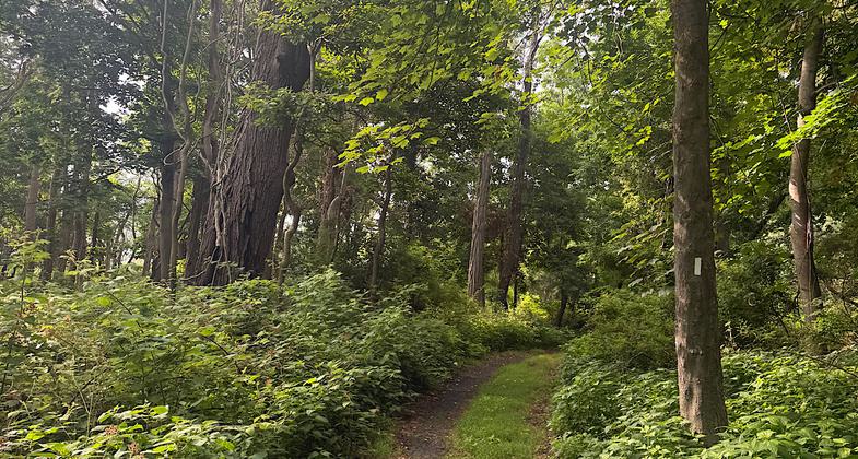
Contains a diversity of terrains from areas of flat pine plains to gently rolling hills to the north formed by glacial action. To the north is Long Island Sound and south is the Great South Bay, with two major rivers in between. CAUTION: Trails are maintained as hiking trails only unless marked as suitable for multi-use.
Accessibility Information
No text provided.
Reviews

Patricia Ellis
Nice woods walking
Hiked as a series of day hikes June 26-28, 2026.
Mostly woods walking except for a few stretches of roadwalks in and around Smithtown. The north and south ends have a teeny bit of beach walking.
Saw deer every single mile, which explains the abundance of ticks. If you do this trail in the spring/summer/early fall, DEET is a must. Every single day I pulled ticks - including the white spotted Lone Star type - off my clothes. Check yourself every half mile.
In spite of the ticks, this is a lovely walk vertically across Long Island. The trail is well blazed and, for the most part, well maintained. Ubers - though expensive -are available if you don’t have a car spot. Note that State Park access points to the trail require a parking fee unless you arrive before their stated fee hours. Each park’s fee is $8 or $10, depending on the park.
Allowed Uses:
Boating, human-powered Hiking/WalkingOther Activities
- Camping
- Fishing
- Wildlife viewing / observation
Public Contact
James Van TassellLong Island Greenbelt Trail Conference
Long Island Greenbelt Trail Conference
Hauppauge, NY 11788
[email protected] • (631) 360-0753
ligreenbelt.org
Contact the trail manager for current maps and visiting details.
More Details
- Elevation (low): --
- Elevation (high): 187
- Elevation (cumulative): --
- Part of a Trail System? No
- Surface (primary): Soil
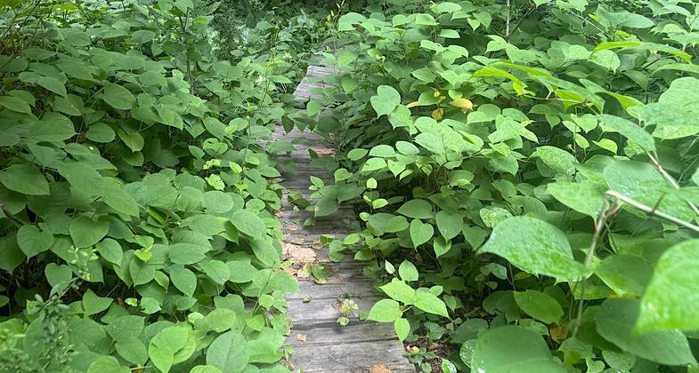
- Surfaces (additional): Boardwalk, Grass or Vegetation, Sand
- Tread Width (average): 50"
- Tread Width (minimum): --
- Running length (minimum): --
- Tread Grade (average, percent): --
- Tread Grade (maximum): 9
- Running length (maximum): --
- Cross-slope (average, percent): --
- Cross-slope (maximum): --
- Running length (maximum): --
- Certified as an NRT
Feb 4, 1982