Laurel-Snow Trail
check with the trail manager for updated details before visiting.
Laurel-Snow Trail
State
Backcountry Trail
- Length
8 miles
- Elevation Gain
--
- Route Type
out & back
(1 review)
- Length
8 miles - Elevation Gain
-- - Route Type
out & back
Laurel-Snow State Natural Area. Photo by Tennessee DEC.


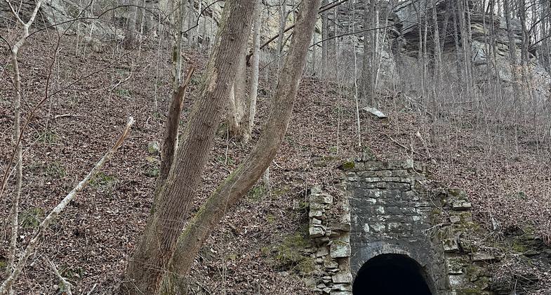
Old mine opening

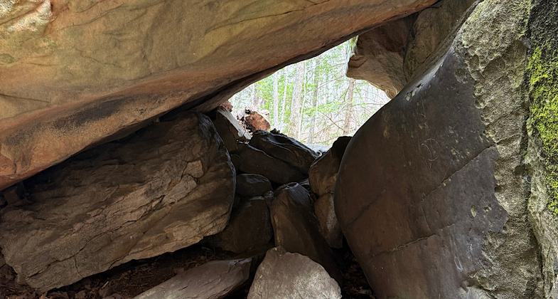
Little boulder cave scramble

Club on a pocket hike on the Laurel-Snow Trail. Photo by Kelly Stewart.

Location: Highland trail about 5 mi. N of Dayton, off US 27.
- States: Tennessee
Tennessee's state natural areas protect populations of rare species of plants and animals, preserve biodiversity, and safeguard the unique biological and geological features of our environment. The statewide system of 81 designated state natural areas is administered by the Resource Management Division of Tennessee State Parks and Natural Areas in the Tennessee Department of Environment and Conservation. For more information visit our web site at: http://tn.gov/environment/na/natareas/
Accessibility Information
No text provided.
Reviews
Patricia Ellis
Solid hike with beautiful water and some steep climbs
The first NRT in Tennessee, designated in 1971.
Hiked February 25, 2026. Map and description call this a 10.8 mile roundtrip hike, but it’s actually 13.2 when you do both branches.
The trail is in great shape and is well-blazed throughout.
This Natural Area was once a coal mine, and there is still an opening to the underworld within the first half mile of the trail. I did not stick my head in.
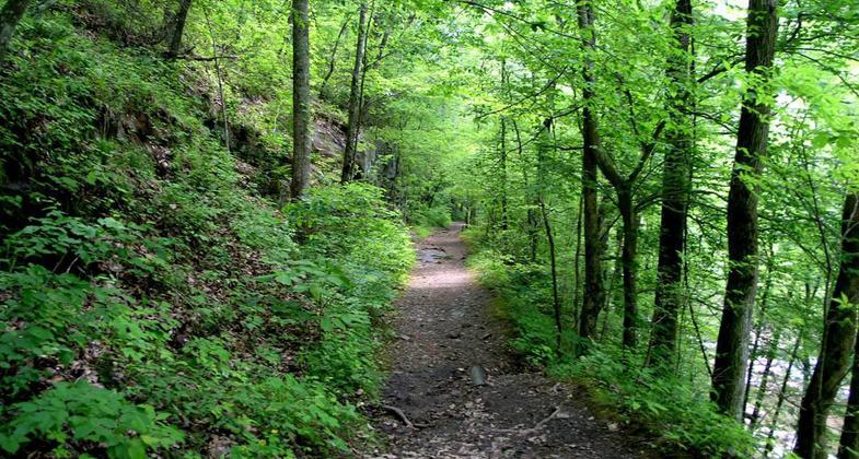
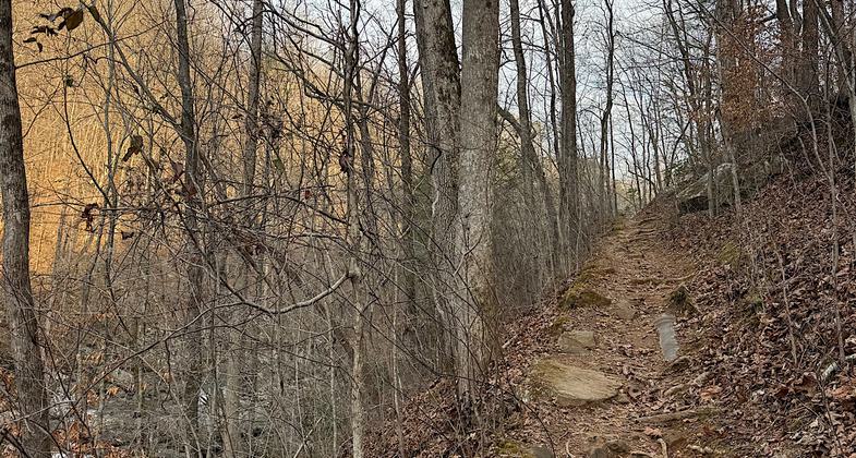
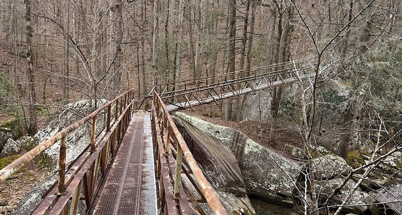
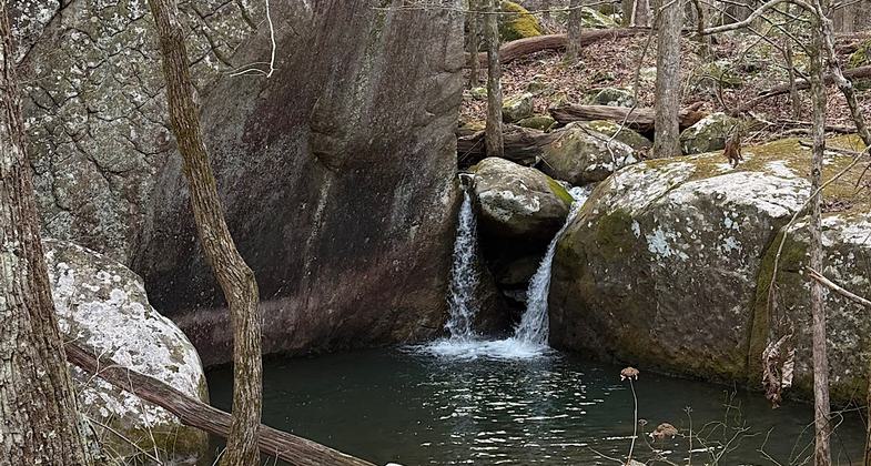
After 2 miles of pleasant woods walking, one comes to an intersection. Straight up/to the right for about a mile brings you to Laurel Falls. The left takes you up a different high hill for a few miles and brings you to Snow Falls. There is a lovely viewpoint at the height of land. Trails have a fair bit of rocks here and there. There’s one narrow steep ledgy bit, one tiny cave scramble, and a few sketchy bridges. Mostly it’s pleasant (and sometimes moderately steep) woods walking with the lower portions close to the large Richland Creek.
Allowed Uses:
Snow, cross-country skiing Snow, snowshoeingOther Activities
- Snow, snow play general
Public Contact
East TN Natural Areas3711 Middlebrook Pike
Knoxville, TN 37921
[email protected] • (865) 594-5601
Contact the trail manager for current maps and visiting details.
More Details
- Elevation (low): --
- Elevation (high): --
- Elevation (cumulative): --
- Part of a Trail System? No
- Surface (primary): Snow or ice
- Surfaces (additional): --
- Tread Width (average): 0"
- Tread Width (minimum): --
- Running length (minimum): --
- Tread Grade (average, percent): --
- Tread Grade (maximum):
- Running length (maximum): --
- Cross-slope (average, percent): --
- Cross-slope (maximum): --
- Running length (maximum): --
- Certified as an NRT
Jun 1, 1971