John Muir Trail
check with the trail manager for updated details before visiting.
John Muir Trail
USDA Forest Service
Backcountry Trail
- Length
20.7 miles
- Elevation Gain
--
- Route Type
out & back
(1 review)
- Length
20.7 miles - Elevation Gain
-- - Route Type
out & back
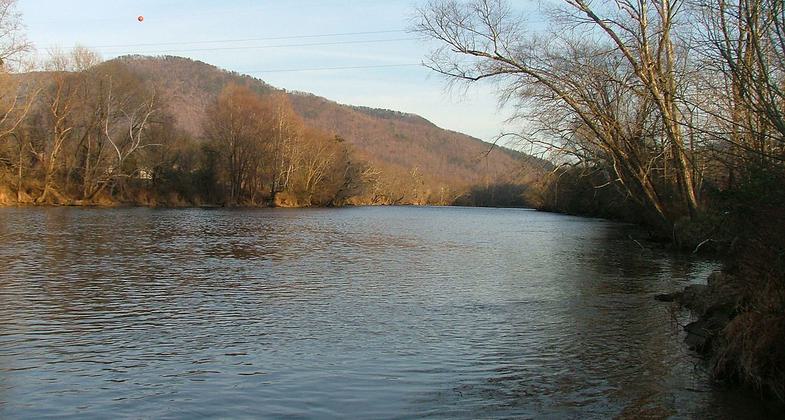
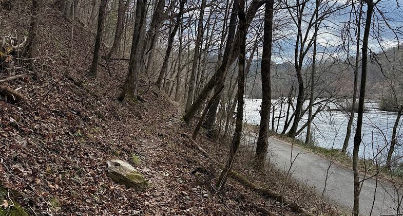
Hiwasee River. Photo by ChristopherM.

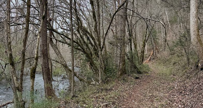
Near eastern terminus (Route 68)


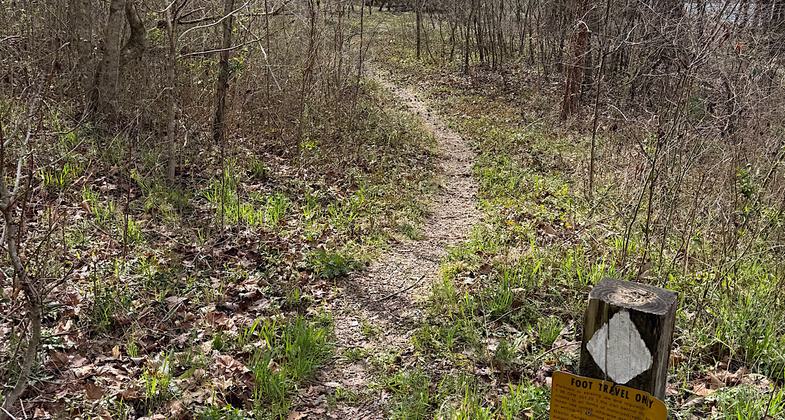
Western terminus

Photo by Steve McCullough.
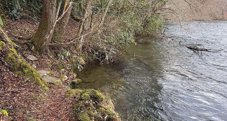
Location: Along Hiwassee River near Reliance, In Cherokee National Forest, along Hiawasee R gorge, NE of Archville on SR 315.
- States: Tennessee
- Counties: Polk
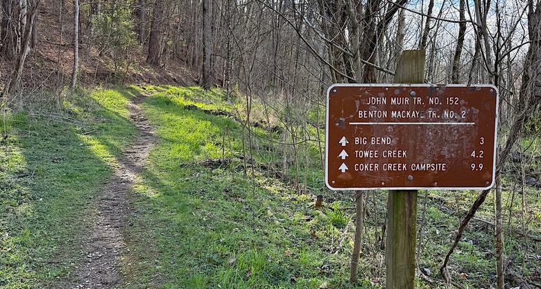
Hike along scenic Hiwassee River on the John Muir National Recreation Trail #152, which is also part of the long-distance Benton MacKaye Trail. Try a short out-and-back hike from one of the trailheads or plan a back-country trip along this 20.7-mile trail. Dispersed camping is allowed on the section of the trail located east of the Apalachia Powerhouse. Trailheads are located at Big Bend, Childers Creek, and at the end of Forest Road 108.
Accessibility Information
No text provided.
Reviews
Patricia Ellis
Extremely remote, would make a great short backpacking trip
Hiked/attempted March 17-18, 2026.
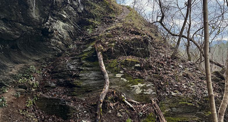
The westernmost four miles are regularly used and well maintained. Nice walk along the river. After Towee Creek parking area, the trail becomes overgrown. I followed it with care for a while and then turned back as I am no longer into figuring out unmaintained trails.
The easternmost few miles of the JMT have been abandoned (trees now growing on the old trail bed, no signs or blazes or maintenance) and the new eastern terminus is now Route 68.
Hiking in from the eastern side (Route 68), the trail is well used until about two miles in, then the trail once more becomes overgrown and looks very lightly used.
I tried accessing the middle of the trail, where it crosses forest road 22B, to see if the entire middle is overgrown or if I just encountered some isolated rough bits coming in from the other directions, but the forest roads leading to the middle of the trail are badly eroded, steep, and IMO dangerous with drop-offs here and there. My car could not make the trip.
This is likely a great trail for someone who wants an extremely isolated, short backpacking excursion. I think the entire trail could be figured out even if some parts are currently overgrown. If one does end up losing the trail, following the river would eventually get you to where you wanted to go.
Allowed Uses:
Swimming Dogs, on leash Hiking/Walking Snow, snowshoeingOther Activities
- Camping
- Fishing
- Snow, snow play general
- Wildlife viewing / observation
Public Contact
Steve GoldmanCherokee National Forest
Ocoee/Hiwassee District
Benton, TN 37307
[email protected] • (423) 338-5201
Contact the trail manager for current maps and visiting details.
More Details
- Elevation (low): 1000
- Elevation (high): 2000
- Elevation (cumulative): --
- Part of a Trail System? No
- Surface (primary): Soil
- Surfaces (additional): Soil
- Tread Width (average): 48"
- Tread Width (minimum): --
- Running length (minimum): --
- Tread Grade (average, percent): 5
- Tread Grade (maximum): 25
- Running length (maximum): --
- Cross-slope (average, percent): --
- Cross-slope (maximum): --
- Running length (maximum): --
- Certified as an NRT
Nov 28, 1979