
Jackass Creek Trail
This information is a public record of the 1979 NRT application and may be out of date if it has not been updated by a trail manager --
check with the trail manager for updated details before visiting.
check with the trail manager for updated details before visiting.
Jackass Creek Trail
USDA Forest Service
Backcountry Trail
- Length
6.3 miles
- Elevation Gain
--
- Route Type
out & back
- Length
6.3 miles - Elevation Gain
-- - Route Type
out & back
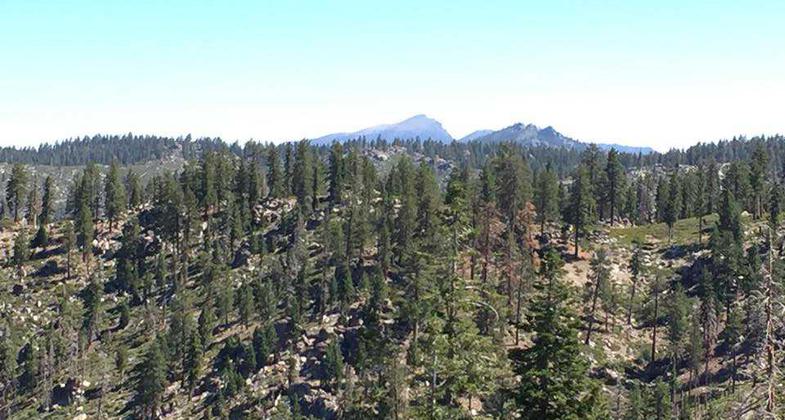
Scenic views. Photo by Troy Meadows, Sequoia NF.

Beginning point of Jackass Trailhead

Trail view. Photo by Troy Meadows, Sequoia NF.

Signs pointing to Jackass Trail. Photo by Troy Meadows, Sequoia NF.
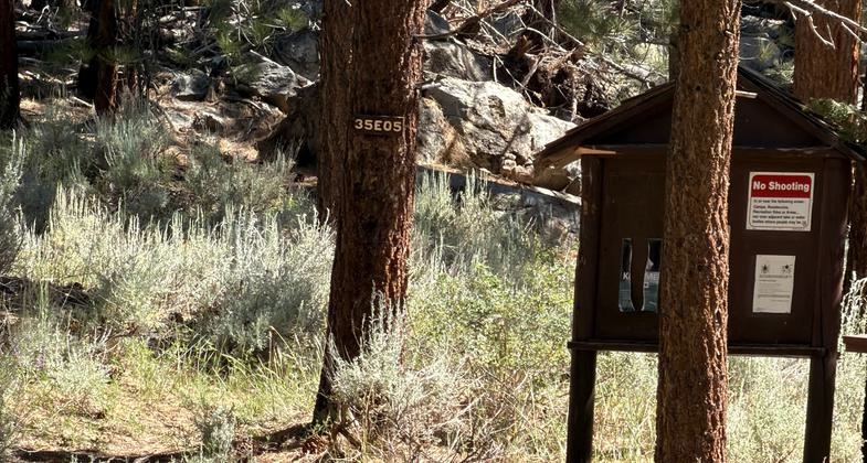
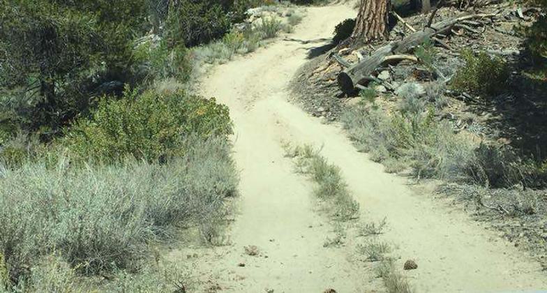
Location: Sequoia National Forest, Road 21501.
- States: California
- Counties: Tulare
The Jackass Creek trail is 5.5 miles long. It begins at 22S05 and ends at 35E06. The trail is open for the following uses: motorcycle trail riding, mountain biking, and hiking.
Accessibility Information
No text provided.
Allowed Uses:
Hiking/Walking Motorized vehicles, motorcyclingOther Activities
- Camping
Public Contact
Mike MendozaSequoia National Forest
Cannell Ranger District
Kernville, CA 93238
[email protected] • (760) 376-3781
Contact the trail manager for current maps and visiting details.
More Details
- Elevation (low): 7000
- Elevation (high): 8000
- Elevation (cumulative): --
- Part of a Trail System? No
- Surface (primary): Soil
- Surfaces (additional): Soil
- Tread Width (average): 30"
- Tread Width (minimum): --
- Running length (minimum): --
- Tread Grade (average, percent): 8
- Tread Grade (maximum): 12
- Running length (maximum): --
- Cross-slope (average, percent): --
- Cross-slope (maximum): --
- Running length (maximum): --
- Certified as an NRT
Dec 12, 1979