
Genesee Riverway Trail
check with the trail manager for updated details before visiting.
Genesee Riverway Trail
City, Town, or County
Urban Trail
- Length
15 miles
- Elevation Gain
--
- Route Type
out & back
(1 review)
- Length
15 miles - Elevation Gain
-- - Route Type
out & back
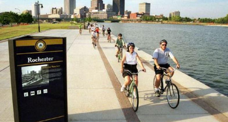


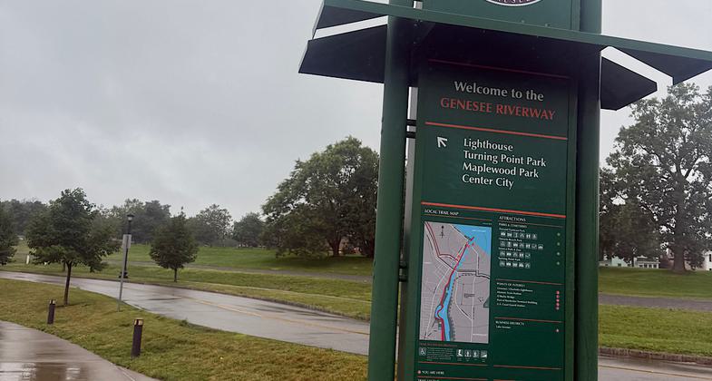

Location: City of Rochester, NY, In Rochester all along the Genesee River from Interstate 390 north to Lake Ontario.
- States: New York
- Counties: Monroe
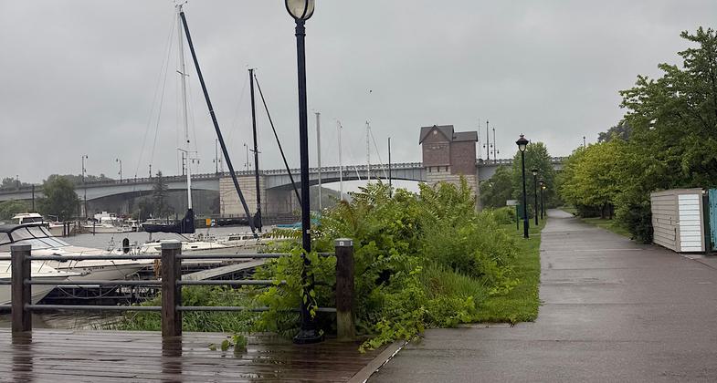
The Genesee Riverway Trail is an urban off-road trail along the Genesee River through the scenic, historic, and cultural heart of Rochester, linking the (statewide) Erie Canal Heritage Trail, the Genesee Greenway Trail (Erie Canal to Pennsylvania), downtown Rochester and the Port of Rochester on Lake Ontario. The trail links 11 parks, (including four historic parks designed by Frederick Law Olmsted), the University of Rochester, and nine historic districts. It provides public access to the river, including seven pedestrian bridges, a scenic gorge, three waterfalls, an 1842 Erie Canal aqueduct, and an 1822 Lake Ontario lighthouse. The trail links city neighborhoods, (with the lowest incomes and lowest rates of automobile ownership in the SMSA) with city attractions and services. To encourage and guide trail use, a system of 125 trail identification and wayfinding signs have been installed. In addition, a trail brochure is published and distributed by the City.
The trail is owned and maintained by the City of Rochester for public use. Support and collaboration from the citizen group, Friends of the Genesee Riverway Trail, the University of Rochester, Rochester Gas & Electric Co., and the County of Monroe have been significant. The trail is complete from the south city line to downtown on both sides of the river (9 miles). Between downtown and Lake Ontario, it is mostly complete (4 miles). An additional two miles, including a 2/3 mile long boardwalk along a dramatic gorge are under construction, to be completed in 2006.
Accessibility Information
No text provided.
Reviews

Patricia Ellis
I recommend the highlights
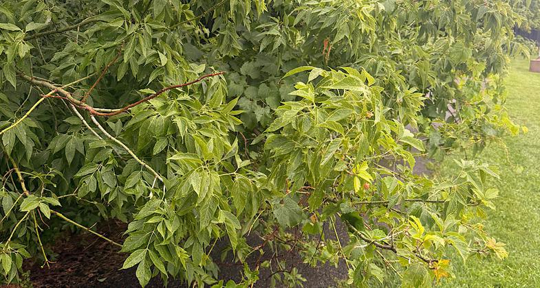
Really wanted to give this five stars since the highlights are truly lovely. However, there are a few unsigned/missing segments and a few sketchy/overgrown/abandoned-looking bits.
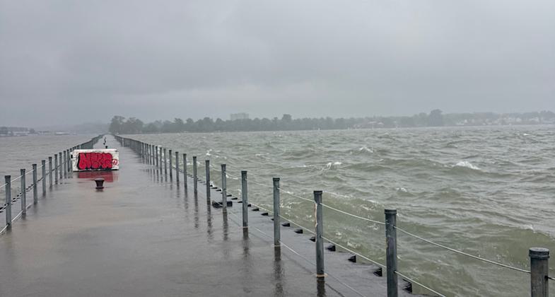
Walked this on July 29 and 30, 2026. On the northern end, a walkway stretches a few tenths of a mile from the shore. Turbulent waves continually crashed over the railings, and there were times I found myself in ankle-deep water. Between that, the wind, and the light rain, I got soaked. It was fun, though.
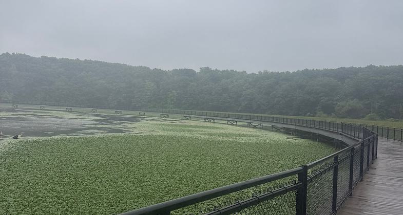
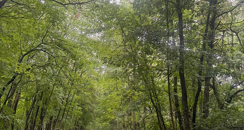
Continuing south, the trail goes past a marina, through some urban woods, and then becomes a glorious raised walkway over and across the Genesee River. Hands-down my favorite part of the trail. The water closest to the shores was filled with lush green marsh vegetation. It looked like a water-field of little dark-green cabbages.
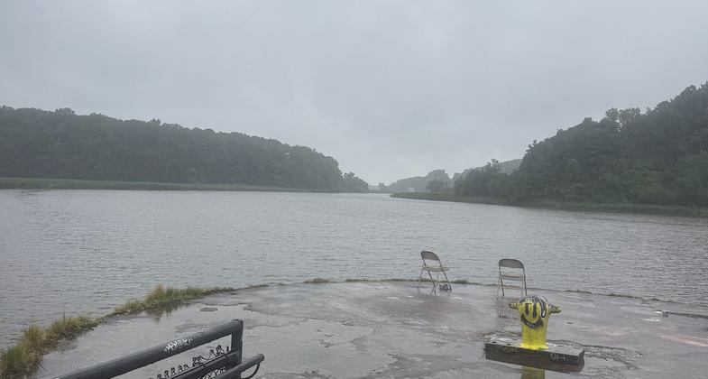
The trail is a paved bike path after that and continues toward Rochester. This is where the trail becomes overgrown and abandoned-looking in some places. I did pass a great outlook for Little Falls, and I did see the eery Seat of Forgetting and Remembering sculpture. Parts of the sculpture looked vandalized, and the grass around it isn’t being maintained. Right after this I ran into my first navigation obstacle. The pedestrian bridge over Station 5 Headgates Dam was closed for maintenance. Getting to the trail on the other side of the river means walking a long detour through Rochester’s Edgerton neighborhood, which I didn’t want to do. Got an Uber back to my car.
July 30. Began my hike at the Erie Canal end of the trail. Headed north on a paved path through urban parks. Went by the University of Rochester and into the city center. More parts of the trail were closed, but, for the most part, I could easily find a quick detour. Once I got right in the heart of the city, though? The trail disappeared, and I had to take my best guess until I reached High Falls. The walk through the city featured beautiful architecture and park art/landscaping here and there, but it felt a bit unsafe since everything looked partly abandoned.
High Falls’ viewing platform is lovely. Beautiful murals and seating sculptures. Needs upkeep, though. Made it the short distance from there to the Genesee Beer & Ale Brewery, then the trail disappeared again. The next parts would have me walking more sidewalks toward the Station 5 Headgates Dam closed pedestrian path, so I called it a day.
Internet sources state this hike is 24 miles. It’s less than 14 if you are going from one end to the other. There are times when the trail supposedly goes on both sides of the river (though I could not personally find such evidence), so I guess that’s where the extra mileage comes in..?
Allowed Uses:
Bicycling Boating, motorized Hiking/WalkingPublic Contact
City of RochesterCity Hall, Room 300B
Rochester, NY 14614
[email protected] • (585) 428-6601
www.cityofrochester.gov
Contact the trail manager for current maps and visiting details.
More Details
- Elevation (low): 225
- Elevation (high): 512
- Elevation (cumulative): --
- Part of a Trail System? No
- National Designations: National Millenium
- Surface (primary): Paved
- Surfaces (additional): --
- Tread Width (average): 120"
- Tread Width (minimum): --
- Running length (minimum): --
- Tread Grade (average, percent): 3
- Tread Grade (maximum): 10
- Running length (maximum): --
- Cross-slope (average, percent): --
- Cross-slope (maximum): --
- Running length (maximum): --
- Certified as an NRT
May 31, 2006