
Fred J. Cusimano Westside Overland Trail
This information is a public record of the 1981 NRT application and may be out of date if it has not been updated by a trail manager --
check with the trail manager for updated details before visiting.
check with the trail manager for updated details before visiting.
Fred J. Cusimano Westside Overland Trail
City, Town, or County
- Length
20 miles
- Elevation Gain
--
- Route Type
out & back
(1 review)
- Length
20 miles - Elevation Gain
-- - Route Type
out & back
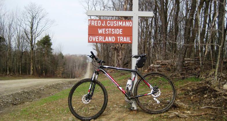


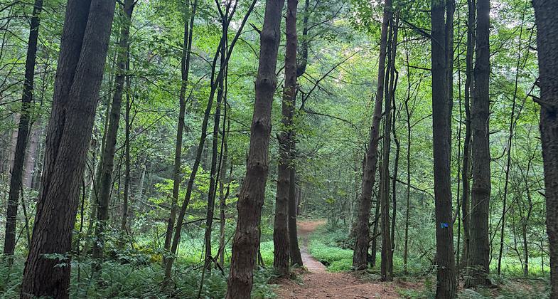
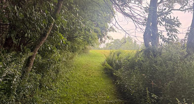
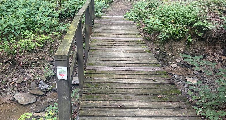
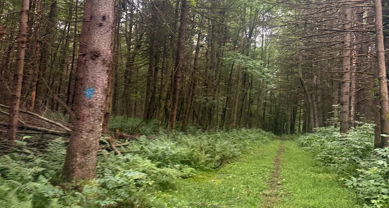
Location: Chautauqua County, SW New York. W of Chautauqua, just E of SR 76.
- States: New York
Passes through a mixture of forest and open land
Accessibility Information
No text provided.
Reviews

Patricia Ellis
Lovely walk in the woods
Well-maintained and well blazed/signed. Trail is mostly in the woods with a few short country road-walks and a few meadows. The entire thing is 24 miles, and you can sometimes make loop hikes using country roads for those who don’t have a car spot/shuttle. There are two places to camp along the way, but you may need a permit(?). Some of the wooden bridges need to be repaired, though. Be careful on those, some of the planks are rotted and broken. Map can be found at hikechautauqua dot com. Hiked August 10-13, 2026
Allowed Uses:
Hiking/WalkingPublic Contact
Bill HarrisChautauqua Co. Parks Commission
2097 South Maple St.
Ashville, NY 14710
(716) 763-8928
Contact the trail manager for current maps and visiting details.
More Details
- Elevation (low): --
- Elevation (high): --
- Elevation (cumulative): --
- Part of a Trail System? No
- Surface (primary): --
- Surfaces (additional): --
- Tread Width (average): 60"
- Tread Width (minimum): --
- Running length (minimum): --
- Tread Grade (average, percent): --
- Tread Grade (maximum):
- Running length (maximum): --
- Cross-slope (average, percent): --
- Cross-slope (maximum): --
- Running length (maximum): --
- Certified as an NRT
Nov 26, 1981