
Erie Canal Heritage Trail
check with the trail manager for updated details before visiting.
Erie Canal Heritage Trail
State
Rail Trail
- Length
65.3 miles
- Elevation Gain
--
- Route Type
out & back
(1 review)
- Length
65.3 miles - Elevation Gain
-- - Route Type
out & back


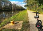
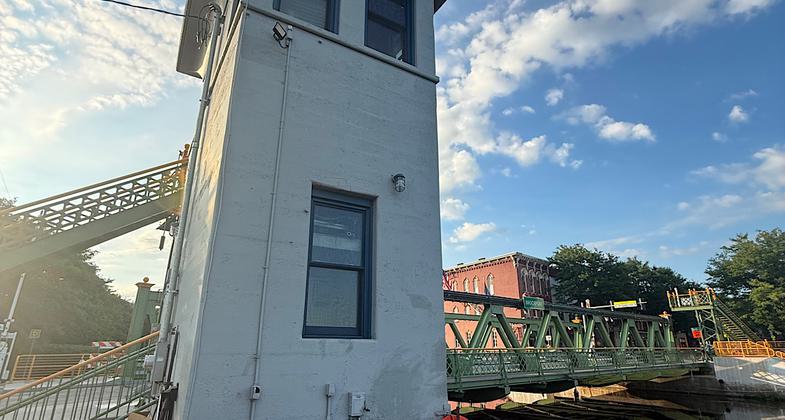


Location: Between Albany and Buffalo
- States: New York
- Counties: Monroe, Niagara, Orleans, Wayne
More than three-quarters of the 365-mile long, off-road Erie Canalway Trail between Albany and Buffalo is open for recreation. When finished, the trail will be the nation's longest multiple-use trail.
Walking the Erie Canalway Trail offers a glimpse of what walking across the state with a canal boat in tow might have been like. The trail is open to hikers, joggers, and bicyclists, as well as cross-country skiers in winter. Some sections are suitable for in-line skating.
The Champlain Canal Trail, running from the confluence of the Mohawk and Hudson Rivers at Waterford to Lake Champlain at Whitehall, is still being developed. Short trail segments currently follow the old Champlain Canal towpath in Waterford and in Schuylerville.
Accessibility Information
No text provided.
Reviews

Patricia Ellis
Lovely walk along the Erie Canal
This trail is the part of the larger Empire State Trail that goes through Monroe, Niagara, Orleans, and Wayne counties. It’s a lovely and flat walk by the canal. While there are stretches of trees here and there, most of it is exposed to direct sunlight, so use your sun protection and bring lots of water on warm days. Uber is available between Fairport and Albion if you are walking and want to do some long stretches without doubling back. Once west of Albion, you’ll need to do out-and-backs if you don’t have a shuttle since no Ubers are available in these smaller town and more rural sections. Scenery includes beautiful farmlands except the Rochester area which is of course more urban. Lots of locals on all parts enjoying the trail. Met a bikepacker who was making his way from Buffalo to Albany. Parking lots exist every 5-10 miles, and you go through cute towns that have food and coffee shops. Saw lots of deer, a few toads, bunnies, a bald eagle, and an osprey. Hiked during multiple days in August 2026.
Allowed Uses:
Bicycling Equestrian Hiking/Walking Motorized vehicles, snowmobiling Snow, cross-country skiingOther Activities
- Camping
- Snow, snow play general
Public Contact
Lawrence O'ConnorNew York State Canal Corporation
3901 Genesse St.
Cheektowaga, NY 14225
(716) 631-9017
Contact the trail manager for current maps and visiting details.
More Details
- Elevation (low): --
- Elevation (high): --
- Elevation (cumulative): --
- Part of a Trail System? No
- Surface (primary): Paved
- Surfaces (additional): Rock, crushed, Soil
- Tread Width (average): 0"
- Tread Width (minimum): --
- Running length (minimum): --
- Tread Grade (average, percent): --
- Tread Grade (maximum):
- Running length (maximum): --
- Cross-slope (average, percent): --
- Cross-slope (maximum): --
- Running length (maximum): --
- Certified as an NRT
Jul 6, 1984