
Cunningham Park Southeast Preserve Trail
check with the trail manager for updated details before visiting.
Cunningham Park Southeast Preserve Trail
City, Town, or County
Urban Trail
- Length
2 miles
- Elevation Gain
--
- Route Type
out & back
(1 review)
- Length
2 miles - Elevation Gain
-- - Route Type
out & back


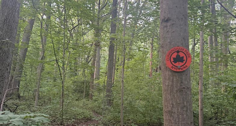
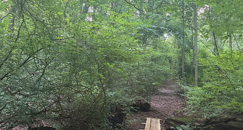
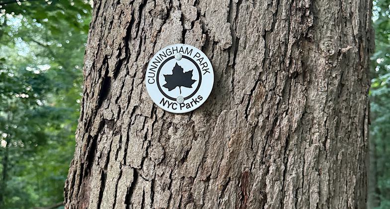
Location: Cunningham Park Southeast Preserve, In Queens at Cunningham Park just south of interstate 495.
- States: New York
- Counties: Queens
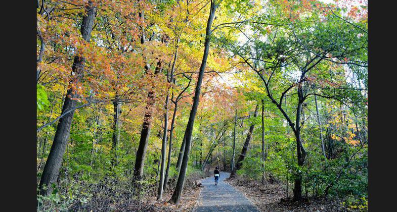
The Cunningham Park Southeast Preserve Trail has been designated a Forever Wild Preserve and takes the visitor through one of the most undisturbed natural areas in New York City, with a rare mature growth of red and black oak, tulip, and hickory trees. The understory is abundant with native wildflowers, flowering dogwood, and a large variety of ferns, such as sensitive, interrupted, and the rare rattlesnake and maidenhair.
The Preserve resides on the terminal moraine ridge left by the Wisconsin ice sheet. A visitor can reach one of the highest points along the ridge and view the lower areas to the south. Several of the ponds visible from the trail include kettle ponds created by the glacier. The ponds and woodlands provide wonderful wildlife viewing opportunities and are favorite spots for local birders.
This trail connects with two significant, regional bicycle trails, the Cross Island Greenway and the Long Island (Vanderbilt) Motor Parkway. Cross Island is an approximately six-mile greenway connecting northern and southern Queens. The Motor Parkway has significant historic value and connects Queens to eastern Long Island.
Queens, NY has been called one of the world's most ethnically diverse cities and the communities served by Cunningham Park reflect this portrayal.
Accessibility Information
No text provided.
Reviews

Patricia Ellis
Needs some maintenance, and it’s isolated
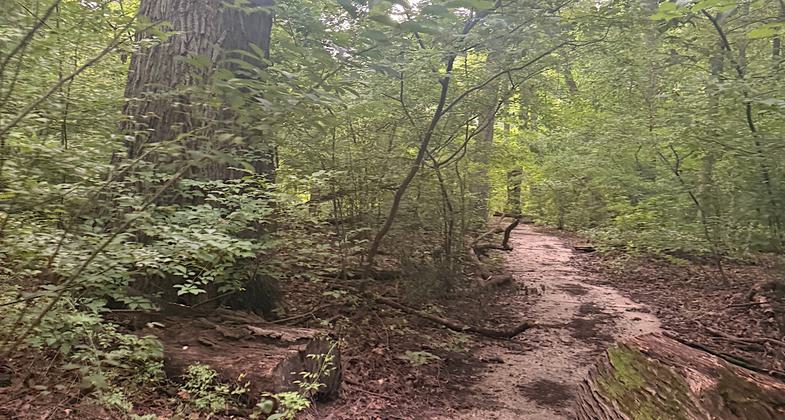
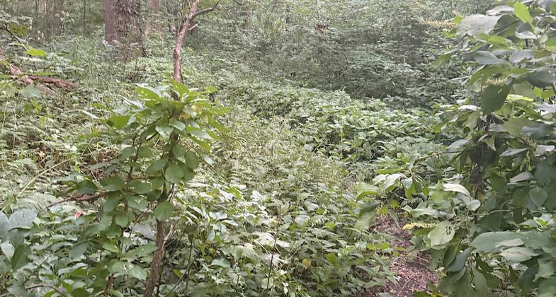
I think this NRT has been incorporated into or replaced by the current White and Orange Trails. Those are the only trails in the southeastern portion of Cunningham Park, and they have the same geology/forests that are described. The trails are narrow and overgrown in many places, and the southeast part of the park is isolated from the rest of the park and bordered by highways. I felt a tad unsafe given the heavily overgrown status and the fact that this large section is far away from the populated and patrolled rest of the park. There are also herd paths here and there…screenshot the trail map before you head into the thick woods or you could easily get lost. I give it four stars because it’s great there is access to heavily forested spaces within Queens. Needs maintenance and maybe some kind of regular patrolling though.
Allowed Uses:
Hiking/WalkingOther Activities
- Wildlife viewing / observation
Public Contact
Gabe EchevarriaNew York City Dept. of Parks and Rec.
NYC Parks, Queens Borough Office
New York, NY 11415
[email protected] • (718) 217-6248
www.nycgovparks.org
Contact the trail manager for current maps and visiting details.
More Details
- Elevation (low): 46
- Elevation (high): --
- Elevation (cumulative): --
- Part of a Trail System? No
- Surface (primary): Paved
- Surfaces (additional): Paved
- Tread Width (average): 48"
- Tread Width (minimum): --
- Running length (minimum): --
- Tread Grade (average, percent): 3
- Tread Grade (maximum): 15
- Running length (maximum): --
- Cross-slope (average, percent): --
- Cross-slope (maximum): --
- Running length (maximum): --
- Certified as an NRT
May 31, 2006